ABOUT:
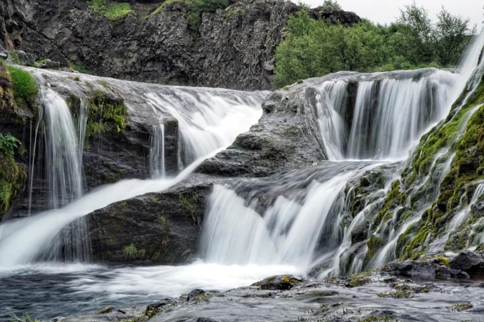
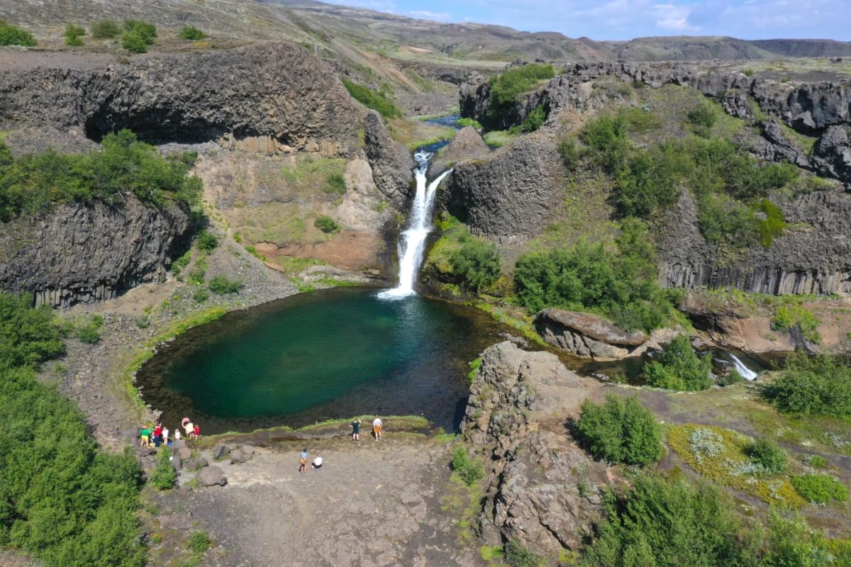
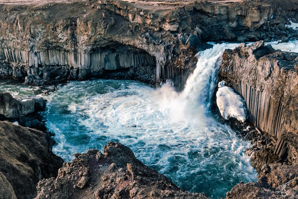
Gjárfoss is one of only a few waterfalls located in the Gjáin valley. Gjáin is known for its basalt columns and lush greenery. Gjárfoss is around 49 ft (15 m) in height. While such a small waterfall may seem unimpressive, the area around Gjárfoss has been described as paradise. What makes Gjárfoss unique is the nearly perfect pool it forms at its base. While a difficult waterfall to access, the Gjárfoss offers a prime swimming hole for its visitors.
The Rauðá stream forms Gjárfoss, and below the pool, it merges with an unnamed stream where you may see other more minor falls and spills. On the cliff where the unnamed stream originates, you will find another waterfall nicknamed “Gjáinfoss.” There is no official name that we can find for this waterfall, but all the waterfalls here are referred to as “Gjáin waterfalls.”
History:

The area Gjárfoss is rich in history, and its magical beauty incites the stories of Icelandic elves and spirits. Near the waterfall lies Stöng, a Viking age farm buried in 1104 after the eruption of Mt. Hekla. In 1939 Nordic archeologists discovered these ruins and were surprised by how well preserved the farm was. This was also significant as it was the first team of trained archaeologists to research some of the Icelandic ruins. Stöng is the only excavated structure from the Settlement Era of Iceland that remains uncovered. However, the building near the site is a reconstruction of the farm. Still, this site was significant not only due to the history of Iceland, but its discovery helped develop new archeological dating methods by examining pollen and bones.
Gjárfoss is only a short hike from the Stöng farm, so it is highly speculated that the Vikings who lived there visited the waterfall and perhaps used it as a resource.
hiking:
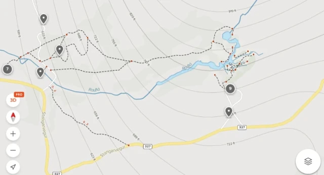
There is no official hike to Gjárfoss on AllTrails.com, but multiple paths and community content are visible on their map. To hike to Gjárfoss, you can start near the “Stöng, Viking-era Long house” or the “Gjáin parking lot” listed on Google Maps. The Stöng route will take you directly to Gjárfoss, while the parking lot route will force you to explore Gjáin and the other waterfalls in the area. You will be forced to cross streams to get to Gjárfoss from the parking lot. This can be hazardous depending on the water flow, but there are paths to follow and mild sections of the shallow streams to cross.
Directions:
Viewable from Road?: No
Nearest Major Town or City: {name}
Distance from Reykjavík: 86 mi (138 km)
Gjárfoss and the area are well marked in Google Maps, but it’s suggested that you navigate towards the Gjáin parking lot. F-roads will be required to reach the waterfall. So this means a 4×4 vehicle is needed, and the roads will only be open during certain parts of the year. It takes only 2 hours to get to the waterfall from Reykjavík, but this could vary due to road conditions.
- Take Þjóðvegur 1, Route 1, Skeiða- og Hrunamannavegur and Þjórsárdalsvegur to Háifoss in Suðurland
- Take Stöng to Stangarvegur
- Gjáin parking lot


