ABOUT:
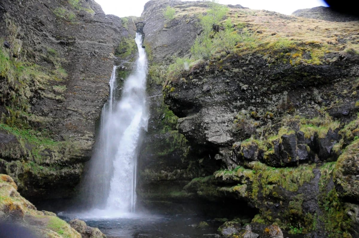
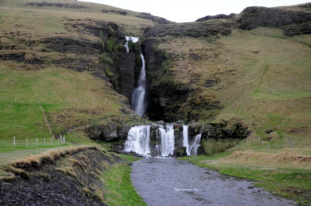
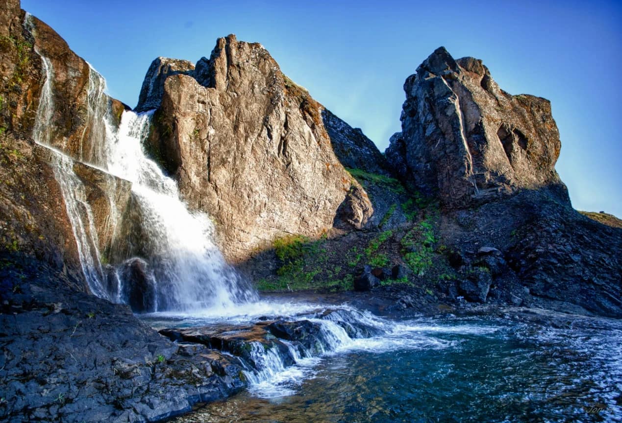
Gluggafoss, also known as Merkjárfoss, is a two-tiered waterfall located on the Merkjá River in the Southern Region. The Merkjá River has many beautiful waterfalls, but Gluggafoss is the most significant. Gluggafoss is increasing in popularity, but it is still a relatively overlooked waterfall.
Gluggafoss is around 20 mins away from the iconic Seljalandsfoss and Gljúfrabúi. While not as popular, Gluggafoss shares their beauty, especially Gljúfrabúi as the waterfall can be seen carving out the canyon. The upper cliffside is palagonite, or turf rock, a soft rock that the Merkjá River has carved tunnels, groves, and even created stone arches. This has earned the waterfall its name Gluggafoss which means “Windows Falls.”
History:

Due to the softness of the palagonite cliff, the Merkjá River is constantly changing the Gluggafoss. By 1947 only the upper half of the waterfall could hardly be seen, as the Merkjá River disappeared into a vertical tunnel behind the cliff. Three ” windows ” revealed the waterfall, with the water coming out the bottom window. This bottom window was said to have formed a beautiful arch. However, in 1947 the Hekla volcano erupted, creating a 20 cm thick layer of ash. As the river continued to carry sediment, the vertical tunnel was eventually filled. This caused Gluggafoss to return to its former glory.
Another historic moment happened at Gluggafoss in 1974. The Residents of Rangárþing County celebrated the 1100th year since the Settlement of Iceland.
Gluggafoss is also a protected nature reserve.
hiking:
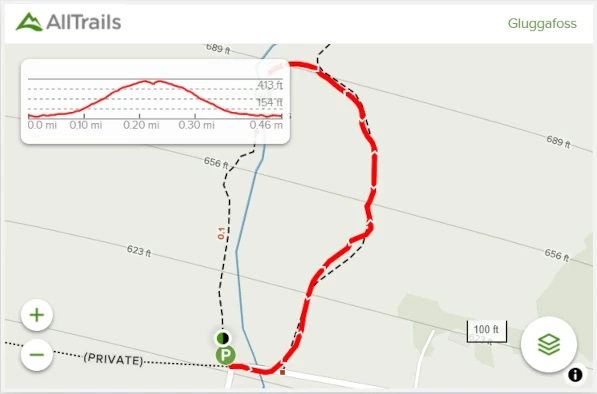
Length: 0.5 mi (0.8 km)
Elevation gain: 213 ft (65 m)
Route Type: Out & back
The hike up to Gluggafoss is more of a gentle walk, but a small trail is listed on AllTrails, which will take you to the top of the waterfall. This second trail is a steeper climb but only 0.5 mi (0.8 km) in length. It is described as more of a sheep trail and can be slippery when wet.
There is also a small trail that leads under the smallest fall before you reach the cliffside.
Directions:
Viewable from Road?: Yes
Nearest Major Town or City: Hvolsvöllur (also between Selfoss and Vik)
Distance from Reykjavík: 77 mi (124 km)
Gluggafoss is marked on Google Maps and is only under 2 hours away from Reykjavík. However, Gluggafoss is only a slight detour off the Ring Road (Route 1), so it’s an easy stop for your trip to Seljalandsfoss or Skógafoss.
From Reykjavík, you want to head east on the Ring Road until you reach Hvolsvöllur. From here, you will turn on Route 261 until you reach Gluggafossavegur. There is a parking area on this road, and you can see Gluggafoss from Roue 261, so it’s hard to miss.
Another option is still following the Ring Road east but turning left before Seljalandsfoss on Route 250. This will take you almost directly to the waterfall, but this road can be rather bumpy. Still, it is an excellent option if you’re visiting the more iconic waterfalls first.


