ABOUT Skógafoss:
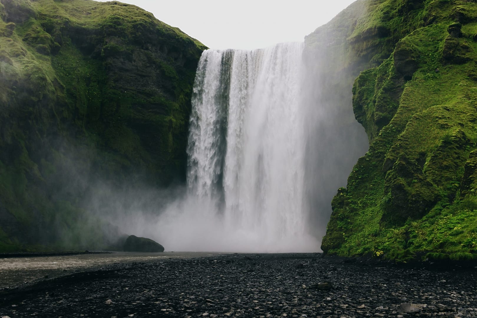
Skógafoss, in my opinion, is perhaps the most Viking of all waterfalls in Iceland, which is no surprise you can see it featured in the History Channel’s series Vikings. Maybe you’ve seen this waterfall in other media such as Thor: The Dark World or The Secret Life of Walter Mitty. Skógafoss’s popularity is well deserved. The waterfall stands at an impressive 203 ft (62 m) and has a large volume of water flowing from the Skóga river. Skógafoss has an impressive width of around 82 feet.
One of the greatest features of this waterfall is the accessibility. Skógafoss is visible from the ring road (HWY 1). The base of the waterfall is also accessible. It’s an easy walk up along the stream to the base, but the closer you get, the more mist you will encounter. It’s impossible to get close without getting drenched. Don’t worry! Skógafoss is still an amazing sight for those who want to view it from a dry distance. Skógafoss falls from a very broad mossy cliffside. You may see many photographs trying to keep their equipment dry while capturing the contrast of the dark basalt rocks and green moss. Those who risk the onslaught of mist are rewarded with an unforgettable memory or photo of the thunderous waterfall.
Skógafoss is also viewable from above. There is a set of steep steps on the right side of the waterfall. These can be slippery, and it is a bit of a climb. The view is worth the effort! Not only do you get to see Skógafoss, but you also get to explore the upper Skóga river and even see the coast on clear days.
Again, Skógafoss is a very popular waterfall, so expect to see plenty of other tourists. You may see local fishermen as well! The portion of the river below the waterfall is home to a healthy population of char and salmon. Skógafoss is an important piece of Iceland’s natural wonder, and you don’t want to skip out on this waterfall.
History of Skógafoss:
I have already mentioned the Viking vibe of the Skógafoss; well, it may be rooted in real Viking history. There is a legend of an early Viking settler named Þrasi (Thrasi) Þórólfsson. Þrasi was an educated man who had some wealth to his name. According to the legend, before Þrasi died in 900 AD, he hid gold within a chest and placed it in a cave behind Skógafoss. Other stories say that Þrasi threw the chest into the pool beneath the waterfall. It is said that on a very sunny day, the base of the waterfall will shimmer gold. Unfortunately, I have yet to hear about in encounters of this legendary phenomenon.
While we don’t know for sure if there is gold at Skógafoss, it has enticed many over the years. According to another local legend, a young boy almost succeeded. He claimed to have found the treasure chest but failed to retrieve it. However, he didn’t come away empty-handed. He tied a rope the ring on the side of the chest, but when he pulled, the ring came off. The boy then donated the gold ring to the Skógar Church. To give the story credibility, visitors today can see this same ring at the Skógar Folk Museum.
hiking Skógafoss:
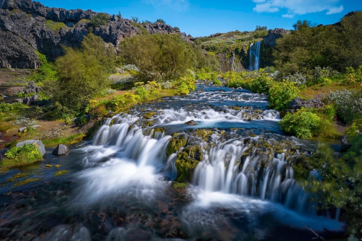
The above map is of the Skógafoss Waterfall trail. According to AllTrails, the hike is 4.2 miles, but the walk to Skógafoss is much shorter than that. The Skógafoss Waterfall trail is for those who want something a little more. This trail will take you up past Skógafoss and into a portion of one of Iceland’s larger and famous trails, Fimmvörðuháls. But if you want to see Skógafoss, you don’t have to hike very far. Hike may be a strong word, as it’s more of a casual walk by a stream. However, I recommend hiking beyond Skógafoss to see some mini waterfalls and rapids along the Skóga river.
Directions to Skógafoss:
To find Skógafoss, all you need to do is head east on HWY 1 from Reykjavík. It’s about 30 minutes west of the town, Vik. Skógafoss is hard to miss.
- Skógafoss is well marked and easily accessible with Google Maps.
- Skógafoss is visible from HWY 1.
- The drive is around 2 hours from Reykjavík.
Don’t forget there are plenty of things to see in this area! You already have passed Seljalandsfoss and Gljúfrabúi, but there is also a crashed American WWII fighter plane, and the quaint town of Vík.

