ABOUT:
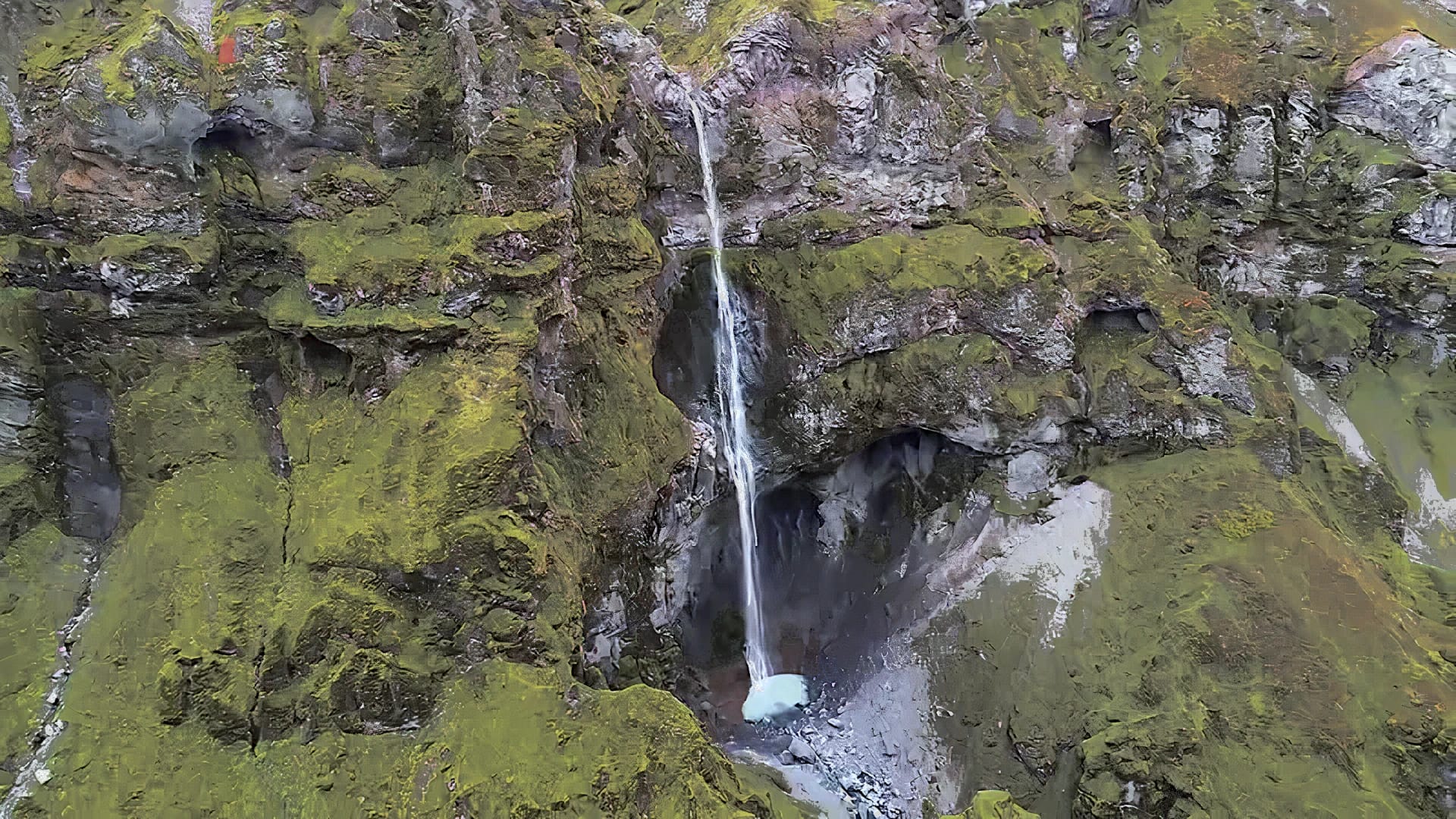
Hangandifoss is one of the tallest waterfalls in Iceland. The most consistent measurement from online sources cites Hangandifoss being 123 m in height, and however, it ranges from 110 m to 130 m. The name Hangandifoss is similar to Hengifoss, which both names translate to “Hanging Waterfall.”
Hangandifoss is not known very well and lies within the Múlagljúfur canyon. The canyon also holds another waterfall named Múlafoss, and this area is widely unexplored by tourists.
The area is within the most southern part of the Eastern Region. No signs are pointing to Hangandifoss, and little information on the waterfall is hard to come by.
Hangandifoss is formed when the Hangandifosslækur stream pours into the canyon. The Hangandifosslækur is only a tributary stream. The main river cutting through Múlagljúfur canyon is either Rótarfjallsá or Múlakvísl. Topographical maps are unclear when the Rótarfjallsá ends and the Múlakvísl begins.
The flow of water in Hangandifoss can be deficient in colder weather, due to Hangandifosslækur being fed primarily by the glacial melting of Öræfajökull.
hiking:
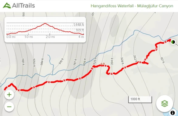
Length: 3.6 mi
Elevation gain: 1,204 ft
Route Type: Out & back
The hike to Hangandifoss is one of the most beautiful hikes Iceland offers. Múlagljúfur canyon offers breathtaking views no matter which way you turn. Due to the obscurity of this area and lack of signage, you may have a very private hike.
AllTrails does have a hike listed for Hangandifoss. While listed as a moderate hike, the path can be narrow and steep at times. It has also been reported that the trail can become very slippery in wet conditions. The trail leads you to a view of Hangandifoss from a distance, but it is possible to hike to the bottom of the waterfall.
Directions:

Viewable from Road?: Yes
Nearest Major Town(s): Between Vik and Höfn
Distance from Reykjavík: 27 mi (366 km)
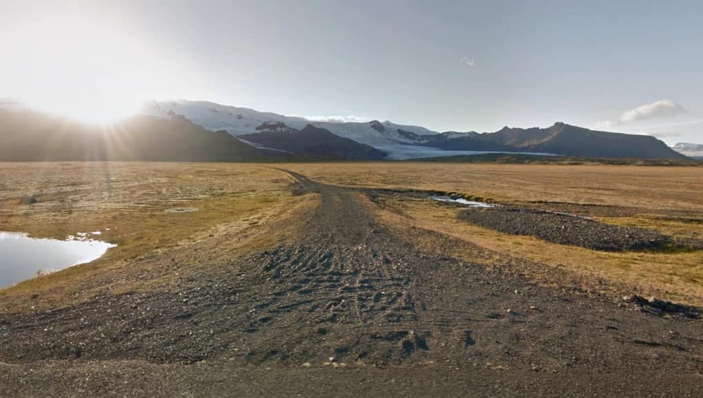
Hangandifoss is near the Ring Road, but you will need to turn off onto an unmarked gravel road to access it. Google Maps does not have Hangandifoss marked, but Múlagljúfur canyon is. However, Google Maps can only get you to the area. The map does not know the gravel road that leads to a parking area. The coordinates for the beginning of the gravel road are 63.988699, -16.395038.
The drive to the gravel road takes around 4 hrs 41 mins. There are no major towns near Hangandifoss, but it is between Vik and Höfn. There are smaller municipalities in the area.


