ABOUT:
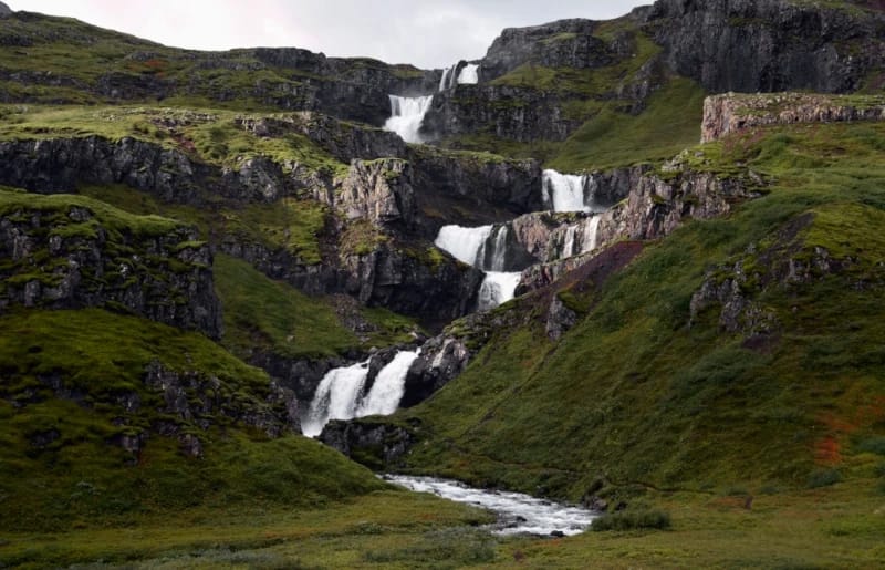
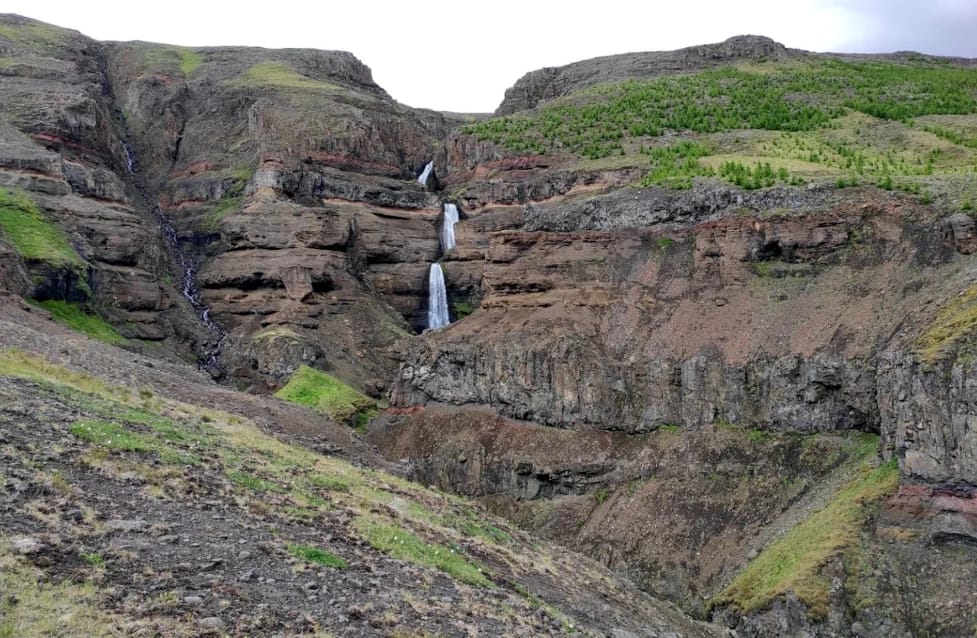
Klifbrekkufossar is a series of several cascading falls in the Mjóifjörður fjord. Klifbrekkufossar is one of Iceland’s tallest major waterfalls at 300 ft (91 m) but doesn’t often receive that recognition due to the segmented drops. The name means Klifbrekkufossar, “Climbing Slope Falls,” as the waterfall is shaped like a set of stairs climbing up the cliffside. Fossar is the plural word for waterfalls, but Klifbrekkufossar is considered a single waterfall.
The Mjóifjörður area is remote, and the fjord is only accessible by road four months out of the year. Several waterfalls are hidden away in the fjord or often not visited, such as Prestagilfoss and Breiðifoss. While still not a bustling tourist attraction, Klifbrekkufossar is the most famous waterfall in the fjord.
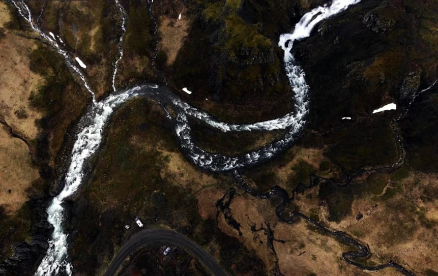
Klifbrekkufossar is at the end of the Fjarðará river’s journey before emptying into the sea. Iceland is known for its pure water quality, but the Fjarðará is a spring-fed river making it exceptionally pure. Unlike glacial river waterfalls, Klifbrekkufossar is not contaminated with dirt or different substances.
hiking:
There is no formal hiking area to Klifbrekkufossar, but the waterfall is right near the bend of Mjóafjarðarvegur (Route 953). While there is no official parking, there is room to pull your vehicle off the road. The waterfall is visible from the road for those who wish to stay in the car or pass by.
Directions:
Viewable from Road?: Yes
Nearest Major Town or City: Egilsstaðir
Distance from Reykjavík: 410 mi (660 km)
As mentioned above, Klifbrekkufossar is located in the remote Mjóifjörður fjord. Egilsstaðir will be the nearest major town that has accommodations for travelers. A 4×4 vehicle is recommended for this area, and the road is not accessible for most of the year.
The drive from Reykjavík to Klifbrekkufossar is around 8 hrs 33 mins. Most of the drive will be on the Ring Road (Route 1) until you reach Mjóafjarðarvegur (Route 953). Klifbrekkufossaris is on Google Maps, but it’s listed as Klifbrekku Waterfall.


