ABOUT:
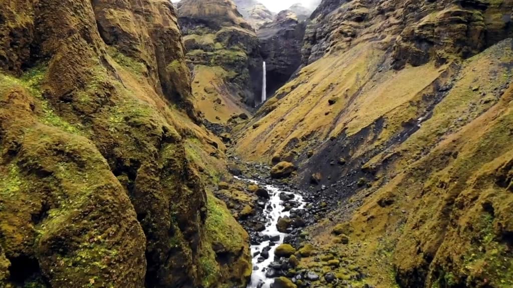
Tucked away in the Múlagljúfur canyon, you can find two waterfalls, Múlafoss and Hangandifoss. Múlafoss is the smaller of the two and more challenging to access, but it still adds plenty of beauty to the canyon. Múlafoss is 331 ft with multiple drops, and most drops remain hidden, but the single 176 ft drop is visible.
Múlafoss translates directly to ” Mule Waterfall,” however it’s likely the name originates from Múlagljúfur, known as “Mule Canyon.” It also should be noted that there are at least five other waterfalls in Iceland named Múlafoss, and there are six if you count Múlafossar.
The Múlagljúfur sees very little tourism, and no clear signs are pointing to the canyon or the waterfalls. However, the hike with Múlagljúfur is said to be one of the best Iceland offers.
The primary river within Múlagljúfur canyon is either Rótarfjallsá or Múlakvísl. Topographical maps are unclear, but the Rótarfjallsá forms Múlafoss. The streams in this portion of the canyon are primarily created and fed by the glacial meltwater of Öræfajökull. While Rótarfjallsá appears to be the primary source for Múlafoss, at least one other stream contributes to it.
hiking:
Length: 3.6 mi
Elevation gain: 1,204 ft
Route Type: Out & back
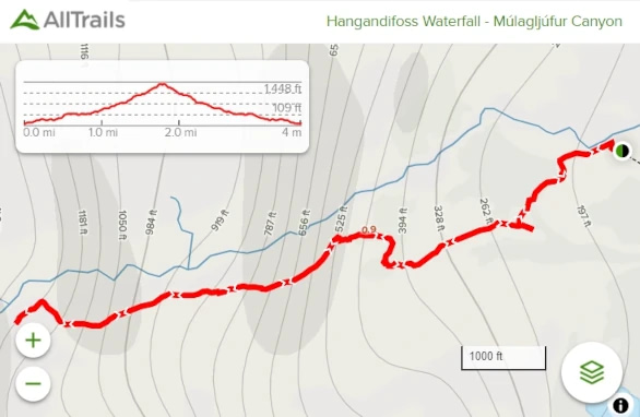
AllTrails does not have a direct hike to Múlafoss. Instead, there is a hike within the Múlagljúfur canyon to Hangandifoss. You can find that trail here, referenced in the image below. Múlafoss is visible on this hike, and it may be possible to get closer. The trail is poorly marked but easy to follow for the average hiker.
Directions:
Viewable from Road? Yes
Nearest Major Town(s): Between Vik and Höfn
Distance from Reykjavík: 27 mi (366 km)
Google Maps does not have the Múlafoss in Múlagljúfur marked. A different Múlafoss is listed on Google Maps. You can find Múlagljúfur canyon listed on the maps, however, Google does not know how to get you there from the Ring Road. There is gravel road that Google Map’s is unaware of, and this road leads to a parking area. The coordinates for the the gravel road are 63.988699, -16.395038.
The drive to the area takes around 4 hrs 41 mins. There are no major towns near Múlafoss , but it is between Vik and Höfn. There are smaller municipalities in the area.


